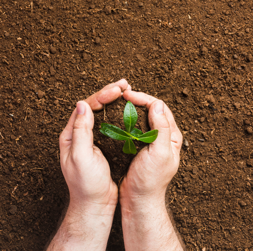
Sustainable solutions for soil fertility in India
India is facing challenges related to water, soil and climate change. The Berambadi catchment is a sub-catchment of the Gundal river, located on the Deccan plateau in southern India.
There are two main dams and 37 smaller reservoirs in the basin. Sediments from reservoirs filled by rivers and rainwater are used as fertiliser by some farmers during the summer season, depending on their availability. Two separate studies have been carried out to assess the impact of using reservoir sediments as fertiliser in the Berambadi catchment in India. The first study, carried out between 2021 and 2022, involved mapping the practice of spreading sediment from dry river dams on agricultural fields. The study also included a qualitative analysis of 65 farmers to assess their knowledge and understanding of the practice.
Soil and sediment samples were analysed for organic matter content, pH and macro- and micro-nutrient content.
A second follow-up study over a five-year period, from 2017 to 2022, has been carried out to assess the expansion of the practice of spreading sediments in the region.
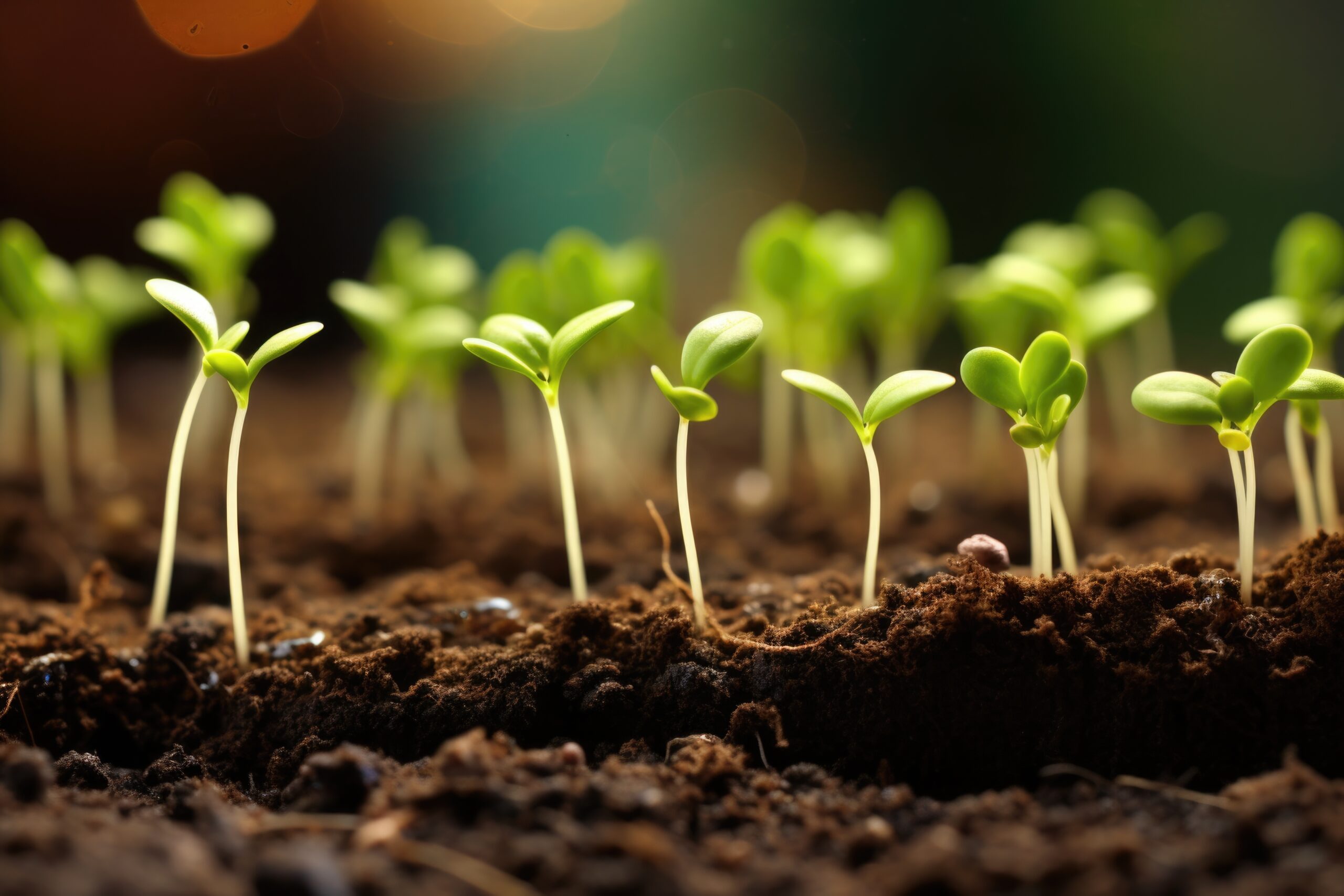
According to these studies, this practice would improve water retention in agricultural plots and organic matter and nutrients in the soil.
Analysis of the impact on agricultural land and assessment of sustainability
A better understanding of this practice will provide guidelines for farmers and ensure sustainable use of this resource. It will also be possible to explore the potential of sediment augmentation as a sustainable solution for soil fertility.
The aims of this project
Various issues are being explored:
Farmers have adequate knowledge and understanding of the practice of spreading dry river bank sediment on their farmland. This may include information on the potential benefits, such as enriching the soil with nutrients, as well as the possible risks associated with the practice, such as increased soil salinity or drainage problems. By ensuring that farmers understand these aspects, the project can encourage informed adoption of the practice and promote its long-term sustainability.
It is possible to quantify the spatial and temporal occurrence of this practice using multi-temporal satellite imagery.
The effects of increased sediments on soil functions and variation in the physico-chemical composition of sedimentsThe soil presents benefits and risks (Increased salinity, Soil compaction, Disruption of soil balance, Increased erosion risk, Impact on biodiversity, Potential contamination) in the short and long term.